Clinton City Park: Main Street Park, Archey Fork Park & Riverwalk
#ClintonFavorites
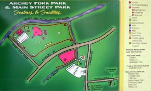
Clinton proudly hosts a large, beautifully maintained multi-purpose park & recreational area, just off the Highway near the historic downtown and business area. Great for walking, playing, exercising, family outings, or just enjoying nature! Bring the whole family and explore the area’s many features.
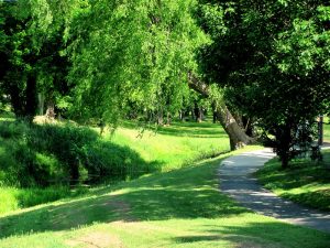
Fully-paved & marked three-quarter mile walking track leading from the park, under the Hwy 65 overpass, around Archey Creek Park and behind La Rosita’s, and back to the Main Street Park
- Convenient parking & public restrooms
- Bring the kids to the swing park & a nearby skate park for older kids
- Basketball court, softball & baseball fields, and (coming soon!) Disc Golf!
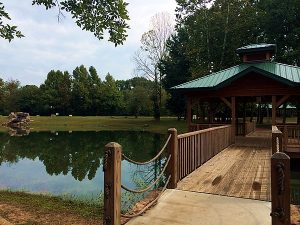
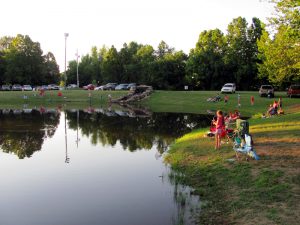
- Fishing pond, fountain, and outdoor classroom with wildlife garden
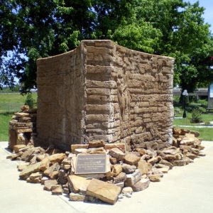
- Enjoy a relaxing retreat right next to historic downtown, with several monuments & memorials
- Beautifully landscaped stream garden and native habitat area along the newly-restored Archey Creek
Pavilions, covered bridges & comfortable rest areas
- “Three Rivers Trailhead” monument on the historic downtown square
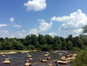
- Newly extended Riverwalk Trail on the north side of the walking track (part of the Archey Fork nature conservation project from the Nature Conservancy)
Categories: Adventures, Attractions, Clinton, Fishing, Hiking, Historical, Parks, Pet Friendly, Scenic, Sports, Van Buren County
Archey Fork Road
Clinton, Arkansas 72031
Big Creek Loop:
From the parking area, the trail follows an old road for a short distance before turning right (look for blue trail blazes) and heading down to Big Creek. After leaving the creek, it’s only a short distance up to the Big Creek Loop/Overlook Trail intersection. From here, either head back to the parking area or extend the hike another mile and enjoy the beauty of the Overlook Trail.
Overlook Trail:
This loop begins at the parking lot, but turns east along an upland area. The trail follows the bluffs along the creek and is 1.75 miles long. There are some awesome views from overlooks along the creek and unprotected bluffs over vast upland forests.
For more information and trail map visit https://www.agfc.com/en/explore-outdoors/wildlife-viewing/nature-trails/big-creek-natural-area/?edit&language=en
Categories: Adventures, Cleburne County, Heber Springs, Hiking, Little Red River, Pet Friendly, Scenic
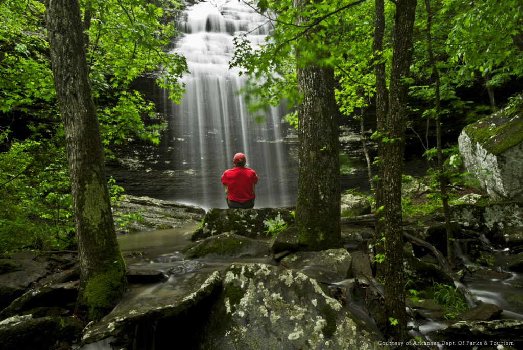
Hiking down to see the Falls is a must for visitors. With an elevation of 584 feet above sea level, this is a spectacular place in the natural surroundings of Heber Springs.
The trails down to Bridal Veil Falls have recently been upgraded with beautiful landscaping.
Categories: Adventures, Attractions, Cleburne County, Heber Springs, Hiking, Pet Friendly, Scenic, Waterfalls
Bridal Veil Falls Road
Heber Springs, Arkansas
Downstream from the dam, this trail meanders along a bluff overlooking the Little Red River and fish hatchery. The trail is mostly level, except at each end, where mossy bluffs are crossed by flights of stairs. The trail provides excellent views from an overlook shelter of the Greers Ferry dam and lake, in addition to the river valley.
The Buckeye Trail was constructed in conjunction with the Mossy Bluff Trail to provide a quality trail experience for persons who are not physically able to negotiate the more difficult areas. Displays are provided alongside these trails for interpretation of interesting natural features.
Categories: Adventures, Attractions, Cleburne County, Heber Springs, Hiking, Parks, Pet Friendly
Hiking down to see the Falls is a must for visitors. With an elevation of 584 feet above sea level, this is a spectacular place in the natural surroundings of Heber Springs.
Categories: Adventures, Attractions, Hiking, Pet Friendly, Scenic, Waterfalls
Jeff Anderson Memorial Trail- .60 mi (currently), A City trail at Sandy Beach accessible at the end of Main Street West (Parking)
or Front Street dead ends at Sandy Beach location of the trail (Parking). This newly renovated 10′ wide packed solid base trail skirts the lake shoreline with some beautiful view of the lakee. This trail is multi-use but no motorized vehicles are allowed. The plan is to make the trail a loop. Pet Friendly.
Map link below
http://www.gfltc.com/jeff-anderson-trail.html
Categories: Adventures, Attractions, Cleburne County, Heber Springs, Hiking, Pet Friendly, Scenic
This multi-purpose trail, located within the boundary of Dam Site Park, features a primary trail length of 6,485 feet. It features a vault toilet, drinking water, picnic area and fitness station at the trailhead. It is home to a large, multi-school cross-country meet held every fall. The trailhead is located just off of Hwy 25 B North, just north of Heber Springs. Pet Friendly.
Click on link below for map
http://www.gfltc.com/josh-park-memorial-trail.html
Categories: Attractions, Cleburne County, Heber Springs, Hiking, Parks, Pet Friendly
25 B North
Heber Springs, AR 72543
This beautiful trail follows along a wooded bluff overlooking the Little Red River below Greers Ferry Dam. Different points of interest such as two different trees that have grown together as one, lichens role in “primary succession”, a balanced rock caused by the process of “weathering”, and many other occurrences in nature can be seen on the trail.
At the end of the trail are 96 steps leading up to a spectacular overlook above the Little Red River and the Greers Ferry National Fish Hatchery. This is an excellent place to rest and enjoy the view before your walk back to the Visitor Center! Pet Friendly.
Categories: Adventures, Attractions, Cleburne County, Heber Springs, Hiking, Historical, Little Red River, Parks, Pet Friendly, Scenic
